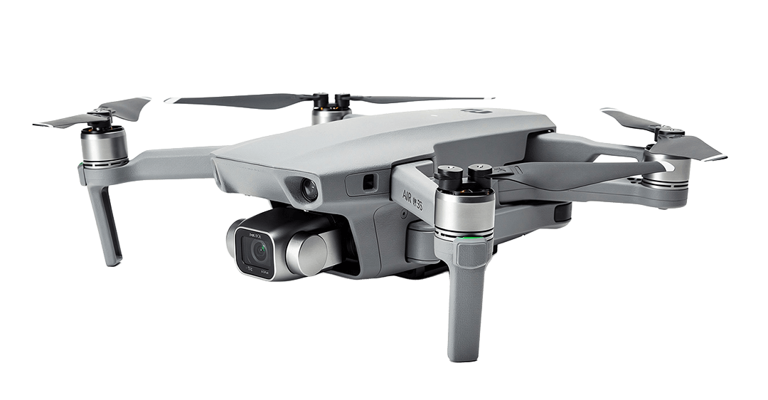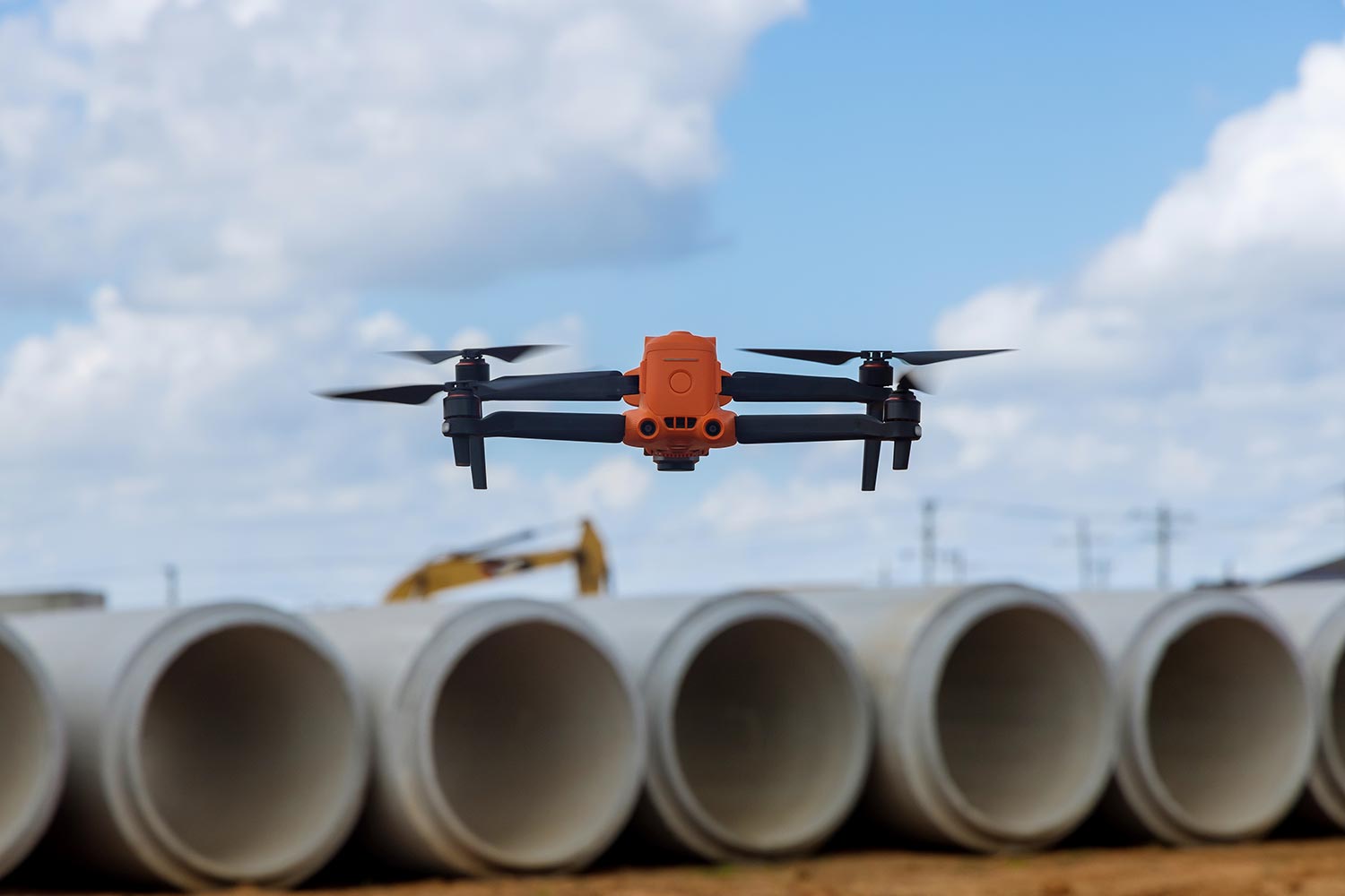


Transform complex terrain into high-precision 3D models and survey data. Fast, accurate, and ready for your CAD/GIS workflow.
about us
We deliver fast, centimeter-accurate aerial mapping to eliminate project delays and keep your field operations on schedule.
Certified flight operations backed by full commercial coverage for complete risk mitigation.
our services

High-resolution aerial mapping and contour lines designed for site planning and land development.

Topographic Map

Detailed 3D mesh and point cloud models generated for seamless CAD, BIM, and GIS software integration.

3D Point Cloud

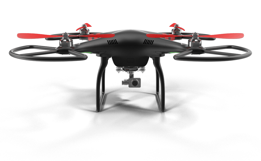
Fast, accurate cut/fill calculations and stockpile volume measurements with zero operational site risks.
Volume Survey
Trusted by Companies Relying on High-Precision Spatial Data.
why choose us
Files (.DXF, .SHP, .LAS) ready to import straight into Civil 3D, ArcGIS, and BIM.
Engineering-grade accuracy powered by RTK/PPK tech and Ground Control Points.
Get CAD-ready maps and 3D data in as little as 48 hours instead of weeks.
Testimonial
See how our precision drone data helps engineers, project managers, and site teams save time and build with confidence.
"Switching to their drone mapping saved us at least two weeks during our initial site grading. The 3D elevation data imported seamlessly into Civil 3D without any file formatting issues. It's easily the fastest and most accurate survey team we've worked with."

Case studies
Client Type: Infrastructure Contractor
Challenge: Traditional ground survey teams needed over 3 weeks to measure a 120-hectare, high-risk corridor, causing site preparation delays.
Solution: Deployed RTK-enabled mapping drones to execute automated grid flights and set Ground Control Points (GCPs) across the site.
Result: Completed full site scan in 1 day and delivered CAD-ready topographic contour maps 70% faster than manual methods.
Client Type: Mining Operations Group
Challenge: Manual volume calculations were hazardous for field surveyors and led to inconsistent inventory estimates.
Solution: Conducted high-resolution aerial photogrammetry flights over 15 bulk material stockpiles to generate dense 3D point clouds.
Result: Achieved 99% volumetric measurement accuracy within 48 hours without halting daily heavy machinery operations.
Client Type: Real Estate Developer
Challenge: Steep terrain and heavy vegetation made initial grading plans and elevation assessments difficult and error-prone.
Solution: Combined aerial thermal and RGB sensors to create accurate Digital Terrain Models (DTM) and 3D digital twins.
Result: Identified critical drainage and slope grading issues early, saving the developer over $45,000 in potential earthwork rework.
Let’s Eliminate Survey Delays on Your Next Project
Stop waiting weeks for ground surveys. Get fast, CAD-ready aerial mapping tailored to your project timeline.
how it works
From flight planning to final CAD export, we deliver engineering-grade spatial data in four simple steps.
Set up precise project parameters before taking off to ensure centimeter-level spatial data.
Execute rapid aerial scanning without interrupting ongoing site operations or ground machinery.
Transform raw aerial photos into ready-to-use spatial models and reports delivered within 48 hours.
Happy Client
Frequently Asked Questions
With RTK/PPK technology and Ground Control Points (GCPs), we achieve centimeter-level accuracy (typically 1 to 3 cm horizontally and vertically), making our spatial data reliable for engineering and construction planning.
For most standard project sites, we process and deliver complete datasets within 24 to 48 hours after flight completion.
We export data in standard formats ready for seamless import into AutoCAD, Civil 3D, ArcGIS, QGIS, and Revit, including DXF, SHP, LAS, TIF (Orthomosaic), and OBJ.
No. One of the main advantages of aerial surveys is that our certified pilots operate safely above your site without interrupting ongoing construction, heavy equipment, or mining operations.
es. We utilize specialized flight planning and advanced elevation filtering (using Digital Terrain Models / DTM) to filter out vegetation and capture true ground elevation across difficult terrain.
latest blogs